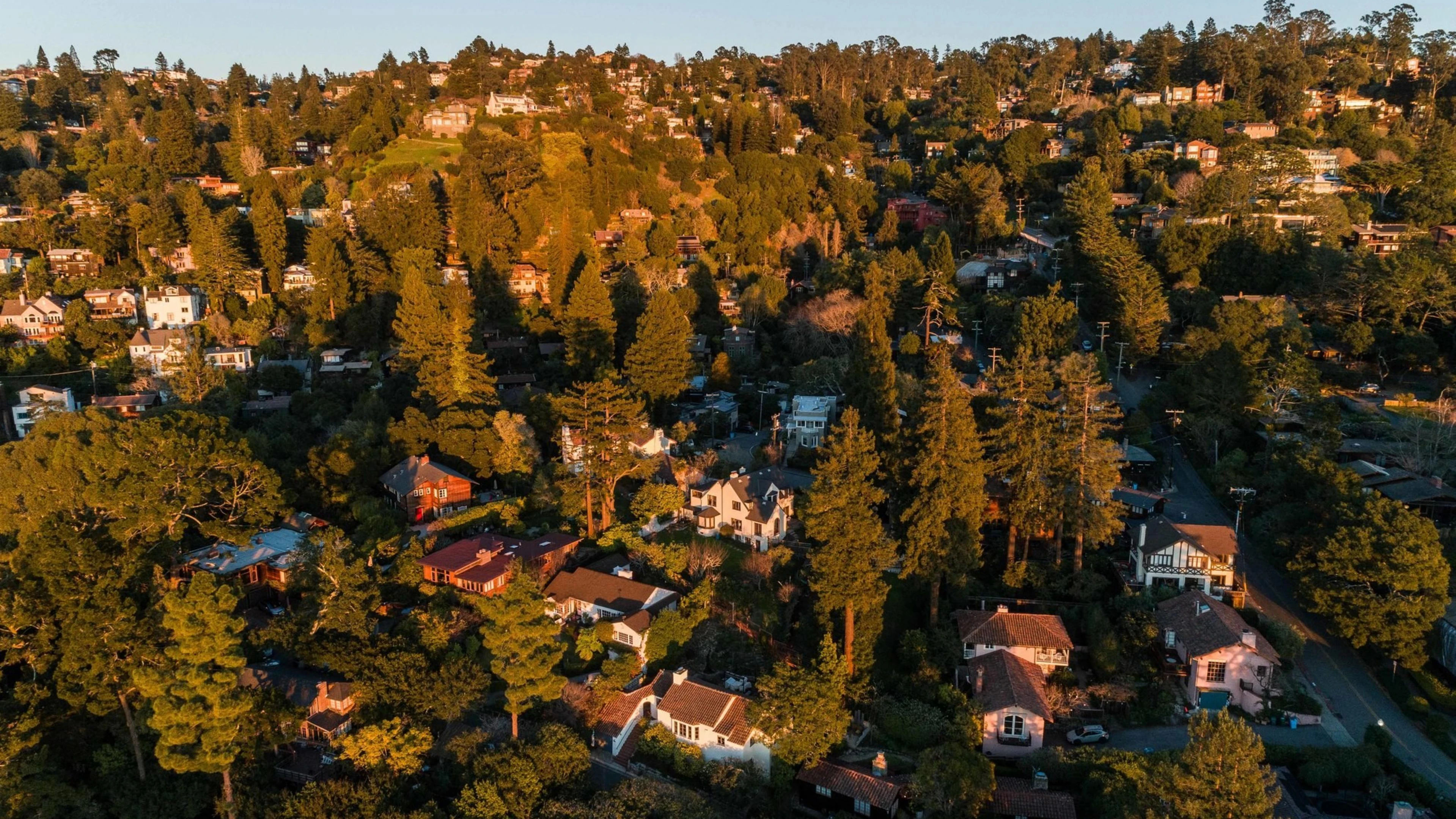
Your Fire Zone Describes the Neighborhood.
This Describes Your House.
Enter your address. In about 60 seconds, see your fire hazard zone, a satellite view of your roof, the vegetation around your home, and what California law requires. Free. No account.
Works on any California address. All 58 counties.
What your pre-assessment shows:
Fire Hazard Zone
Your official CAL FIRE classification and what it means
Roof Condition
Satellite view of your roof material and tree canopy
Vegetation Risk
Density across all three defensible space zones
Terrain Data
Elevation, slope, and aspect from USGS 3DEP
Priority Action
The single most important thing to address first
About 60 seconds. No email required.
100% FreeYour Satellite Pre-Assessment
Most Homeowners in Fire Zones Have Never Seen Their Property From Above
The state assigns a zone to your neighborhood. That zone does not tell you what is actually on your roof, how close the trees are, or what the law requires for your specific property. The pre-assessment does.
Fire Hazard Zone
Your official CAL FIRE classification: Moderate, High, or Very High. What it means for building codes, insurance, and defensible space requirements.
Roof and Structure
Satellite imagery of your roof material and condition. Tree canopy hanging over the roofline. The view your insurance carrier sees.
Vegetation Density
How much fuel surrounds your home across all three defensible space zones: 0 to 5 feet, 5 to 30 feet, and 30 to 100 feet.
Terrain and Slope
Elevation, slope angle, and aspect direction from USGS data. Uphill homes face faster fire spread. The report quantifies it.
Highest Priority Action
The single most important thing to address on your property, based on what the satellite imagery and data reveal.
County Emergency Alerts
A direct link to your county's emergency notification system. Most homeowners in fire zones are not signed up.
All of this is free. No email. No account. Takes about 60 seconds.
What the California Fire Hazard Severity Zones Mean
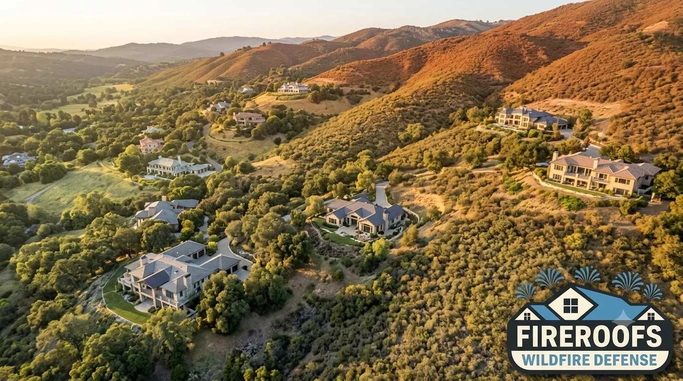
CAL FIRE classifies every parcel in California into one of three Fire Hazard Severity Zones. The classification is based on vegetation, terrain, weather patterns, and fire history over a 30- to 50-year window. These maps do not measure what you have done to your home. They measure the conditions around it. For historical context, see California wildfire statistics.
Moderate
Lower wildfire exposure. Standard building codes apply. Insurance is generally available at normal rates. Defensible space maintenance is still recommended.
High
Elevated wildfire exposure. Homes built or remodeled after 2008 must meet Chapter 7A building codes. Insurance carriers may adjust premiums or limit coverage. Defensible space is required under PRC 4291.
Very High (VHFHSZ)
The highest wildfire hazard classification. Mandatory Chapter 7A building codes for new construction. 100 feet of defensible space required. Zone Zero rules (noncombustible safety zone within 5 feet of the structure) apply under the April 2026 draft regulation. Insurance non-renewals are common. Many homeowners in VHFHSZ are on the FAIR Plan.
SRA vs. LRA: Who manages your fire zone?
State Responsibility Areas (SRA) are managed by CAL FIRE. These are primarily rural and wildland areas. Local Responsibility Areas (LRA) are managed by city or county fire departments. Both have their own FHSZ maps. Updated LRA maps are being rolled out across California through 2025 and 2026.
Hazard vs. risk: The maps measure hazard (terrain, vegetation, weather). Your actual risk depends on what you have done to your property. Two homes in the same VHFHSZ can have very different risk levels based on home hardening, defensible space, and active defense systems like exterior sprinkler systems.
Explore wildfire risk for 48 Bay Area communities with detailed city profiles: Bay Area Wildfire Risk Map
How Your Fire Zone Affects Your Insurance
California's wildfire insurance market has changed dramatically. Major carriers are non-renewing policies in High and Very High fire zones. Premiums have increased 50% to 300% or more for homeowners who can keep coverage. Many are pushed to the California FAIR Plan, which caps dwelling coverage at $3 million. For Bay Area homes valued at $5 million to $15 million, that leaves a gap measured in millions.
SB 429: Rate Transparency
Creates California's first public wildfire catastrophe model. Effective January 2026. The model itself is still being built through a university consortium.
Regulation 2644.9
Requires admitted insurers to offer premium discounts for 12 documented mitigation measures across home hardening, defensible space, and community categories.
AB 888: Grant Money
The California Safe Homes Act. Grants for fire-safe roofing and Zone Zero mitigation within 5 feet of the structure. Check eligibility through the CA Dept of Insurance.
AB 38: Disclosure at Sale
Homes built before 2010 in VHFHSZ must document fire hardening and defensible space status when selling. Buyers and lenders treat this as a baseline.
Check Your Property in About a Minute
The fire zone tells you about your neighborhood. The satellite report tells you about your home. Enter your address, confirm the pin on your roof, and see what your property actually looks like from above.
Free. No account needed. No email required.
What You Can Do About Your Fire Zone
Your fire zone classification does not change. But your property's actual vulnerability can. Hardening your home against ember intrusion and maintaining defensible space are the two highest-impact actions. California law requires both in High and Very High zones, and insurers are starting to reward homeowners who go beyond minimum requirements.
Home Hardening
Vents, eaves, roofing, windows, decking, and siding. These are the entry points for embers. Chapter 7A sets the minimum. Going further makes a measurable difference.
Defensible Space
Three zones around your home: 0-5 feet (noncombustible), 5-30 feet (lean and clean), 30-100 feet (reduced fuel). PRC 4291 sets the rules. The new Zone Zero draft adds a noncombustible perimeter.
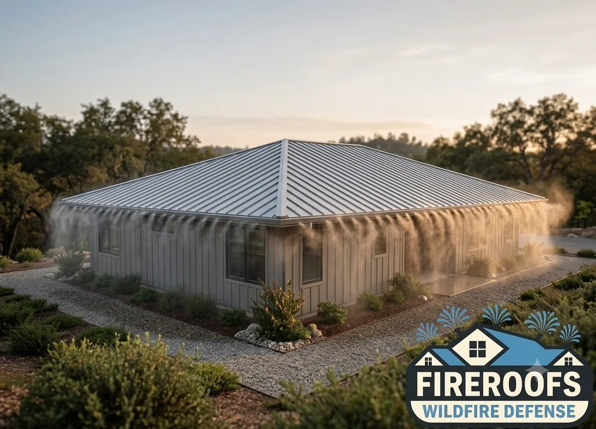
Active Defense
Exterior sprinkler systems soak your roof, walls, and surrounding vegetation before flames arrive. Automated systems activate without anyone home.
Document Everything
A code-cited assessment gives your insurance broker evidence of mitigation. Regulation 2644.9 requires carriers to consider documented improvements when setting premiums.
See how the process works: how FireRoofs protects homes. Ready to get a quote? Book a free evaluation. Review our full service list or cost overview.
Go Deeper When You Are Ready
The Pre-Assessment Is the Snapshot. The Full Assessment Is the Roadmap.
A photo-based evaluation of your property against every applicable California wildfire code. Same-day delivery. One document that serves homeowners, insurance brokers, real estate agents, and contractors.
Homeowners
- Know exactly what your property requires under current law
- Prioritized action plan: what to fix first, what can wait
- Insurance documentation formatted for broker submission
- Regulation 2644.9 discount categories mapped to your home
Insurance Brokers
- Carrier-ready documentation for renewals and applications
- All 12 Safer from Wildfires mitigation categories covered
- Evidence of mitigation for FAIR Plan discount eligibility
- Formatted for underwriter review, not homeowner language
Real Estate Agents
- Independent wildfire assessment for buyer due diligence
- AB 38 disclosure documentation for pre-2010 VHFHSZ homes
- Verify seller claims about fire hardening and defensible space
- Useful for both buyer-side and listing-side transactions
New Construction and Remodels
- CBC Chapter 7A requirements mapped to the specific property
- Zone Zero and defensible space requirements for the lot
- Baseline documentation before construction begins
- Helps architects and contractors plan fire-resistant specs
Full Wildfire Assessment
Upload photos from your phone. A specialist reviews every angle against CBC Chapter 7A, PRC 4291, and the Safer from Wildfires 12-category framework. Same-day delivery.
Available to any California homeowner. Not limited to our service area.
Have Questions About Your Area?
HydroIQ is a free AI wildfire assistant that answers questions about your property and geographic region. Ask about defensible space rules in your city, fire safe council programs, tree removal permits, insurance options, or anything else about wildfire protection in your community. It covers all nine Bay Area counties with city-level data.
Wildfire Preparedness Resources
Understanding your fire zone is the first step. These guides cover what comes next: preparing your home, understanding the laws, and making informed decisions about protection.
Common Questions About California Wildfire Maps
Tap Your Location to See Local Wildfire Risk and Protection Options
Every community here has its own fire history, risk level, and terrain. Pick yours below to see what CAL FIRE says about your area - and what you can do about it.
Not sure about your property's risk level?
Get Your Free Wildfire Report60 Seconds. Your Address. A Clear Picture.
The satellite pre-assessment shows what matters most about your specific property. The full assessment is there when you are ready. Start here.