Union City Wildfire Protection: Fire Zone, Insurance and Home Hardening
Union City's eastern hillside neighborhoods climb into the same East Bay Hills corridor that has produced devastating fires for over a century. The ridgeline above Dry Creek Pioneer Regional Park and the eastern slopes along Mission Boulevard carry High fire hazard designations. Neighborhoods in the Hillview-Crest and eastern portions of the city back directly onto steep, dry grassland and eucalyptus groves.
CAL FIRE Risk Designation
Alameda County
Union City's East Hills
Union City's wildfire exposure is on its east side, where the hills above Mission Boulevard rise into the grassland of Garin and Dry Creek Pioneer regional parks. On October 1, 2013, a grass fire on the hillside near Tamarack Drive and Castro Street, at the Hayward and Union City border near Garin Regional Park, burned about 6.4 acres before crews contained it within an hour.
Alameda County Fire Department in Union City
Since 2010, the Alameda County Fire Department has provided fire and emergency medical service to Union City under contract. Three stations serve the city: Station 31 on Central Avenue, Station 32 on Alvarado Boulevard in the Alvarado District, and Station 33 on 7th Street in the Decoto District.
Union City's 2025 Fire Hazard Map
The State Fire Marshal released new Local Responsibility Area maps for Union City on February 24, 2025, and the city took public comment through April 25, 2025. State law gives cities 120 days to adopt the maps, and a city can add areas but cannot lower a state designation.
The city's LRA Fire Severity Zone Maps page links to the state viewer and a Union City fire hazard map PDF, so you can check your parcel directly.
Alerts and Local Help
Alameda County shows evacuation zones on Genasys Protect. Hill-side homes have only a few roads down to Mission Boulevard, so know your zone and your second route. The Diablo Fire Safe Council serves Alameda County and is the local source for fuel reduction projects and grant programs.
Union City Fire Protection Resources
Fire Hazard Zone Lookup
Check whether your Union City address is in a Very High, High, or Moderate Fire Hazard Severity Zone using CAL FIRE 2025 maps.
Look up your addressEvacuation Map
Alameda County evacuation zones, routes, and real-time status during active incidents.
Alameda County Evacuation Map (Genasys Protect)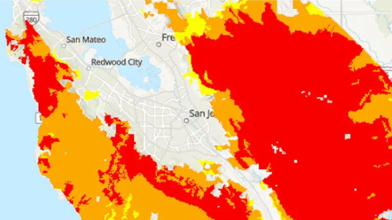
CAL FIRE Very High Fire Hazard Severity Zones (VHFHSZ) shown in red/orange
Source: CAL FIRE Fire Hazard Severity Zone data via Bay Area News Group
CAL FIRE High Fire Hazard Severity Zone
High FHSZ on eastern hillsides above Mission Boulevard. Valley floor neighborhoods are generally not designated. Updated per 2025 CAL FIRE maps.
Union City's Wildfire Record
Understanding past fires helps predict future risk. Here are the most significant fire events near Union City.
Burned in the Diablo Range east of Union City. Smoke and air quality impacts affected the city.
Small grass and brush fires occur regularly in the hills above Union City, particularly during summer and fall fire season.
Local Risk Factors
East Bay Hills Corridor
Eastern Union City sits in the same fire corridor that extends from Oakland Hills south through Hayward and Fremont.
Steep Terrain
Eastern hillside neighborhoods have steep slopes that accelerate fire spread and limit evacuation options.
Diablo Wind Exposure
Hot, dry Diablo winds from the east can rapidly push fires from wildland into residential areas along the ridgeline.
Live fire status near Union City
Track active incidents, Red Flag Warnings, air quality, PSPS power shutoffs, and evacuation resources for the Alameda County area, updated throughout the day.
Request a private consultation. We will design and install the right sprinkler and hardening system for your home.
Request a Private ConsultationUnion City Fire Environment
Vegetation Types
Wind Patterns
Diablo wind events from the east; fire weather typically September through November
Topography
Flat valley floor in the west transitioning to East Bay Hills in the east. Steep slopes with direct wildland adjacency on the eastern edge.
Protecting Your Union City Home & Family
Living in a fire-prone area means being proactive. Here are the steps every Union City homeowner should take to protect their property and prepare for wildfire season.
Evacuation Planning
Know routes from hillside neighborhoods to I-880 via Mission Boulevard and Decoto Road. Register for AC Alert emergency notifications.
Defensible Space
Hillside properties must maintain 100 feet of defensible space. Clear dry grass, remove eucalyptus debris, and trim vegetation along property boundaries.
Your Local Fire Safe Council
Diablo Firesafe Council
Union City Wildfire Preparedness Resources
Protect Your Union City Home with FireRoofs
- Ember-resistant vents, enclosed eaves and noncombustible fencing
- Zone 0 hardening within 5 feet of the house
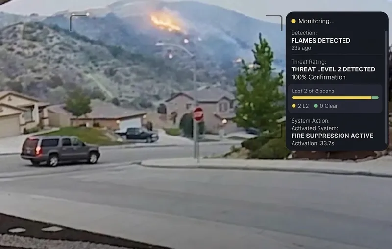
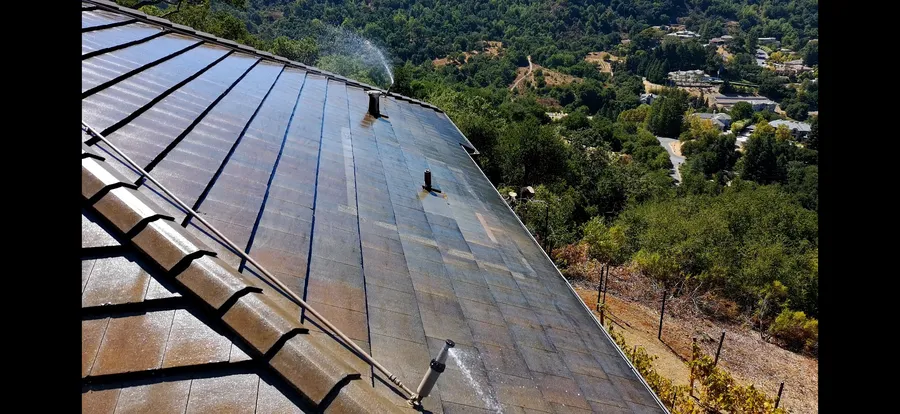
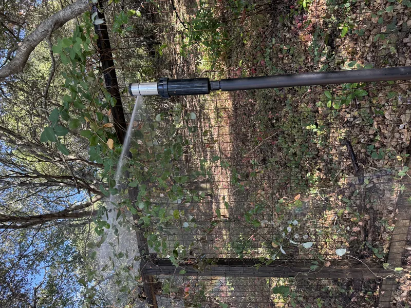
- Automated exterior sprinklers for roof and perimeter
- One insurance documentation packet for every upgrade
Nearby Communities We Serve
FireRoofs also installs wildfire defense systems in neighboring communities with similar WUI risk profiles.
If You Lose the Home
Losing a Union City Home: What Recovery Actually Looks Like
Union City's eastern hillside neighborhoods border the same East Bay Hills corridor where grass fires ignite every summer and fall. The SCU Lightning Complex burning through the Diablo Range in 2020 brought that risk close enough to affect air quality across the city. Families who have gone through a total loss elsewhere in California offer a clear picture of what comes next.
52%
Half of Claimants Wait Over a Year
More than a year after the 2017 Tubbs Fire, 52 percent of people who lost homes had not yet settled with their insurance company. Union City homeowners in a similar situation would face that same delay while trying to find housing in one of the Bay Area's tightest rental markets.[1]
69%
Underinsurance Is the Common Outcome
A year-one survey covering households affected by the 2025 Los Angeles wildfires found that 69 percent of respondents carried insufficient insurance, falling short by an average of $247 per square foot. That gap between policy limits and actual rebuild costs is the single most common financial shock families encounter after a major loss.[2]
2 years
Temporary Housing Coverage Runs Out
Most Tubbs Fire policies covered two years of temporary housing, and as that coverage expired, families faced both a mortgage payment and a rent payment while waiting for their homes to be completed. That double burden is a direct result of how long rebuilding actually takes.[3]
“They sell it like it’s peace of mind plus a contract. But, they enforce it like it’s just a contract.”
Keeping Home Insurance in Union City
With new maps in effect, check whether your Union City parcel changed zones and keep a copy of the result. Insurers also run their own models, so hill-side homes can be rated as exposed even outside a mapped zone.
California regulation 10 CCR 2644.9 lists the mitigation insurers must recognize, including ember-resistant vents, enclosed eaves and a noncombustible 5-foot zone. FireRoofs documents each item so you can request a revised score.
Got a notice from your insurer? Here is what to do after a non-renewal.
Request a Private ConsultationProtect Your Union City Property Today
Every Union City property is different. Request a private consultation of your home's wildfire exposure and a custom defense plan.
Common Questions
What wildfire risk does Union City face?
Union City is designated a High fire risk zone by CAL FIRE. Alameda County fire maps confirm elevated exposure driven by annual grassland and eucalyptus groves fuel loads and dry-season wind patterns. Eastern Union City sits in the same fire corridor that extends from Oakland Hills south through Hayward and Fremont.
Do exterior wildfire sprinklers qualify for an insurance discount in Union City?
Exterior sprinklers are not one of the named Safer from Wildfires categories, so no carrier is required to discount for them. A documented FireRoofs project produces evidence for the categories that are named, such as ember-resistant vents, enclosed eaves, defensible space and a noncombustible Zone 0. Discounts vary by carrier.