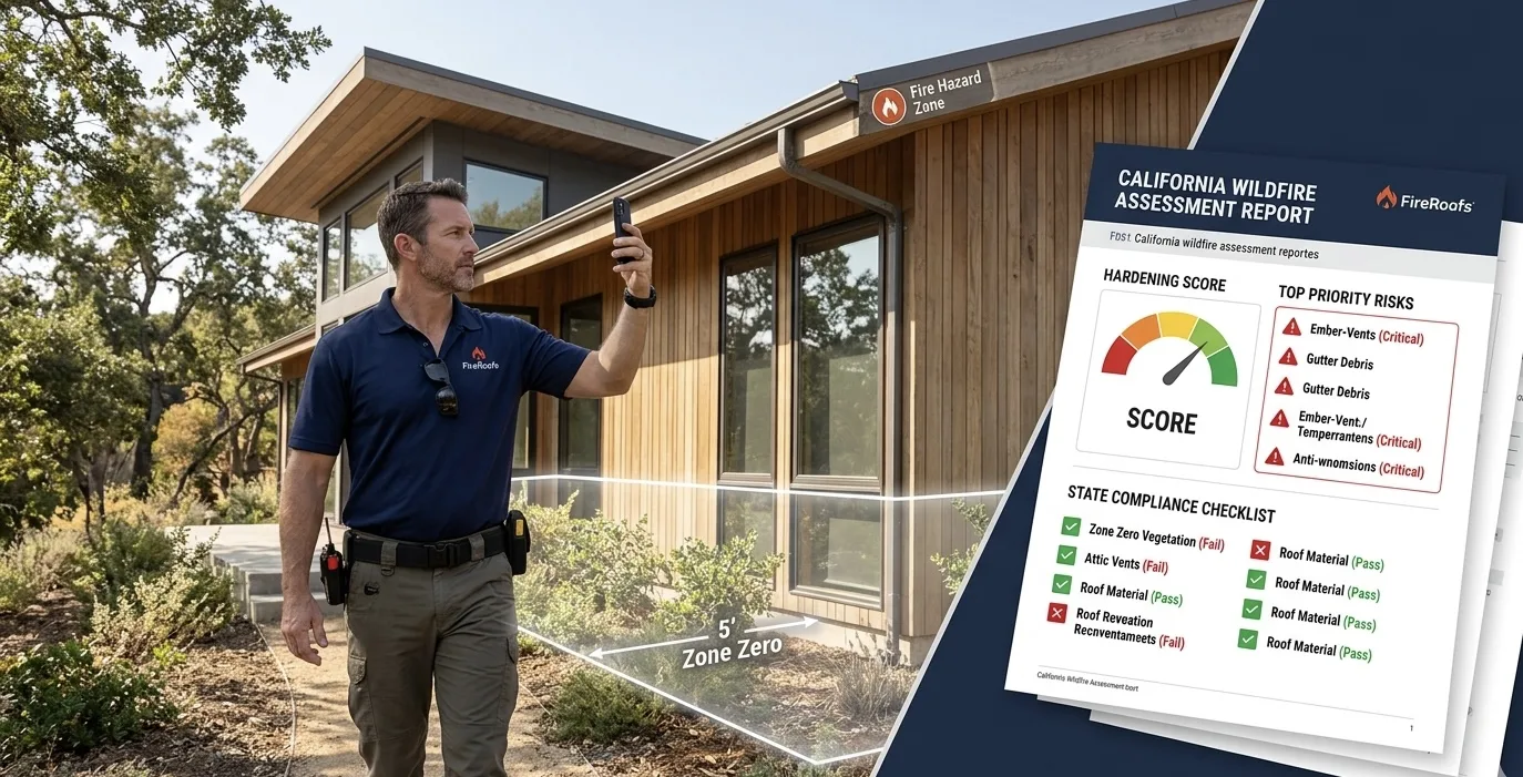
California Fire Risk Assessment.
The Document Your Insurer, Your Buyer, and Your Contractor All Ask For.
Photo-by-photo. Code-referenced. Formatted for insurance renewals, AB 38 disclosures, and hardening bids. Satellite pre-assessment first, full assessment $149.

Two Steps. Free First. Decide From There.
Satellite Pre-Assessment (you are here)
Enter your address. Roof condition, vegetation density, fire zone, and all three defensible space zones. About a minute, no email, no cost.
Full Assessment Report ($149, only if you want it)
Upload photos. Get a multi-point evaluation across 7 hardening categories and 3 defensible space zones, with code citations, Safer from Wildfires scorecard, insurance documentation, and AB 38 disclosure section. Delivered same day.
Have a promo code? Start with the satellite pre-assessment. You will enter your code before payment.
How It Works
Three steps from photos to a finished, code-referenced report.
Upload Photos
Photograph your roof, vents, eaves, walls, windows, deck, and vegetation from ground level. The more angles, the more thorough the evaluation.
Code Analysis
Every photo is evaluated against CBC Chapter 7A, PRC 4291, AB 3074, and the Safer from Wildfires 12-category framework. Each finding gets a code citation and effort rating.
Same-Day Report
Receive your completed assessment with prioritized action items, insurance documentation, and AB 38 disclosure sections. Most reports delivered within one hour.
Used by California homeowners, insurance brokers, and real estate professionals.
Built for the Three People Who Actually Read This Report
One report. Three audiences. Each person gets exactly what they need without wading through what they don't.
California Homeowners
Shows you how to protect your home from wildfires, what it will cost in effort, and whether it will help you keep your insurance. The report ranks every issue from critical to maintenance, ties each observation to a California code section, and shows you a clear path to the Safer from Wildfires categories your insurer is required to recognize.
Insurance Brokers
Maps every photographed condition to the 12 categories of the California Department of Insurance Safer from Wildfires framework under Regulation 2644.9. Every observation includes the underlying code citation. No marketing language. No sales pitch. A document your underwriter can review without translation.
Real Estate Buyer's Agents
Under AB 38, sellers in high and very high Fire Hazard Severity Zones must disclose wildfire readiness status. This report provides a third-party condition assessment of every Chapter 7A element, photo evidence, and a remediation cost-and-effort summary your client can use during the due diligence period or final walkthrough.
What $149 Buys
In-person wildfire mitigation site visits from independent assessors run $300 to $500 in California, with waitlists of 6 to 8 weeks in fire season. Here is what FireRoofs delivers for $149, on your timeline.
Clarity
Every finding ranked critical, important, or maintenance. You know exactly what to do first, what can wait, and what is already in good shape.
Insurance Documentation
Every photo evaluated against the 12 categories of the Safer from Wildfires framework that California insurers are required to recognize under Regulation 2644.9. Formatted for brokers and underwriters.
How insurance discounts workCalifornia Code Citations
Every recommendation tied to CBC Chapter 7A, PRC 4291, or AB 3074. Not generic advice. The specific code section that applies to what your photo shows.
Understanding ember threatsAB 38 Disclosure Section
For homes in high or very high FHSZ areas, the report includes a disclosure summary sellers and buyer's agents can use to document readiness status during real estate transactions.
Aerial Vegetation Analysis
Satellite imagery analysis showing vegetation density, canopy coverage, and defensible space zone boundaries. See your property the way a fire assessor would see it from the air.
Prioritized Action Plan
A ranked list of everything that needs attention, from most urgent to least. Effort ratings and cost guidance for each item so you can plan your budget and timeline.
How $149 compares:
CAL FIRE Qualified Entity assessment
Free (but 4 to 12 week waitlist, no insurance mapping)
Independent assessor site visit
$300 to $500 (6 to 8 week waitlist)
Forensic property condition report
$1,200 to $2,500
FireRoofs Wildfire Assessment Report
$149 (delivered same day, no waitlist)
See What Your Report Looks Like
The report opens with three risk indexes and the Safer from Wildfires Mitigation Index for your broker. The priority action plan follows, sorted by urgency, with photo evidence and code citations on every item. A defensible space assessment, home hardening assessment, aerial property analysis, and insurance documentation section close the report.
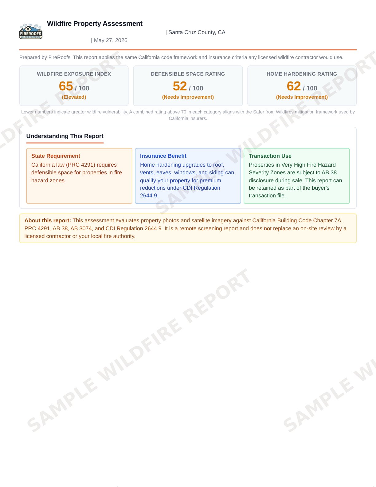
Cover Page and Risk Indexes
Page 1 of 18
How This Compares to Other Options Available in California
FireRoofs encourages homeowners to use free programs where available. Here is how the options stack up so you can choose what fits your situation.
| Feature | FireRoofs $149 | Fire Safe Council Free | CAL FIRE QE-100 Free | Independent Assessor $300-$500 | DIY Self-Assessment Free |
|---|---|---|---|---|---|
| California code citations per observation | |||||
| Safer from Wildfires scorecard | |||||
| Photo-by-photo analysis | |||||
| Insurance broker documentation | |||||
| AB 38 disclosure section | |||||
| Aerial vegetation analysis | |||||
| Severity rating per observation | |||||
| No waitlist | |||||
| Available statewide | |||||
| Delivered same day |
California code citations per observation
FireRoofs
Fire Safe
QE-100
Assessor
DIY
Safer from Wildfires scorecard
FireRoofs
Fire Safe
QE-100
Assessor
DIY
Photo-by-photo analysis
FireRoofs
Fire Safe
QE-100
Assessor
DIY
Insurance broker documentation
FireRoofs
Fire Safe
QE-100
Assessor
DIY
AB 38 disclosure section
FireRoofs
Fire Safe
QE-100
Assessor
DIY
Aerial vegetation analysis
FireRoofs
Fire Safe
QE-100
Assessor
DIY
No waitlist
FireRoofs
Fire Safe
QE-100
Assessor
DIY
Available statewide
FireRoofs
Fire Safe
QE-100
Assessor
DIY
AB 38 Wildfire Disclosure: What Buyers, Sellers, and Agents Need to Know
Assembly Bill 38 requires sellers of homes in high and very high Fire Hazard Severity Zones to disclose wildfire readiness status as part of the real estate transaction. Defensible space documentation has been required since July 2021, and as of July 2025, sellers must also disclose which low-cost fire-resistant retrofits have been completed.
For buyers, this means you have the right to know exactly what you are inheriting. Which components meet current code? Which ones don't? What will it cost to bring the property up to standard? The FireRoofs assessment answers all three questions with photo evidence, code citations, and effort ratings you can use during the due diligence period to negotiate repairs or credits.
For sellers, the report provides proactive documentation of your property's wildfire readiness before a buyer asks for it. Getting ahead of disclosure surprises strengthens your position in negotiations.
What the report covers for AB 38 disclosure:
Dropped by Your Insurer? Here Is Your Next Move.
If your California home insurance was canceled or your carrier threatened non-renewal due to wildfire risk, you are not alone. Tens of thousands of California homeowners have lost coverage in the last three years as insurers pull back from fire-prone areas.
Step one is documentation. Your broker needs objective evidence of what your property looks like today and what you have done (or plan to do) to reduce risk. Carriers want to see specific mitigation work mapped to the Safer from Wildfires 12-category scorecard under California Regulation 2644.9.
Our $149 assessment gives your broker exactly that. Every photo is evaluated against the same categories insurers use, every observation includes a code citation, and the report is formatted so a broker or underwriter can review it without translation. Whether you are appealing a non-renewal, shopping for alternative coverage, or building a case to avoid the FAIR Plan, documented proof of mitigation is the single most effective tool you have.
Bottom line:
If your insurance carrier threatened non-renewal, our report gives your broker the objective, code-referenced data needed to appeal or shop for alternative coverage. It is the fastest way to turn "we are dropping you" into a conversation your broker can actually win.
One Report. Four Situations.
After you start, you tell us your situation. The assessment adapts its analysis and recommendations accordingly.
Existing Home
Evaluate what you have today and what to fix first
New Construction
Verify the work meets code before final sign-off
Real Estate Transaction
AB 38 disclosure documentation for buyers and sellers
Major Remodel
Assessment against current Chapter 7A requirements
Home Hardening Categories We Evaluate
The assessment covers every major hardening category defined by California building codes and the Safer from Wildfires framework. Each one is photographed, evaluated, and mapped to the relevant code section.
In Our Service Area?
The $149 assessment works for any California homeowner. But if you are in one of our 48 Bay Area or Santa Cruz Mountains communities, your report becomes the first step toward getting the work done.
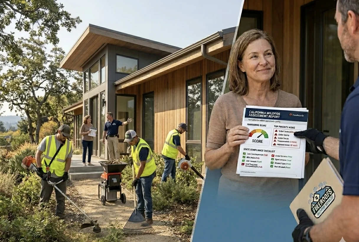
Use your report to book a free on-site evaluation. We review your roof, water access, and Zone Zero conditions in person and deliver a system proposal within one to three business days.
Not in the Bay Area? The report is still yours. Take it to any contractor, or use it for your own records and insurance conversations. You can also explore wildfire risk in other California cities, such as Mill Valley.
Common Questions
You Will Need This Document Eventually. Start With the Free Version.
Insurance renewal, a home sale, a hardening contractor asking what to prioritize. The satellite report is free, takes about a minute, and gives you the basics. If you need the full $149 assessment later, you can upgrade. Either way, you have something to work from.
Questions? We are here to help.
Code References
This report evaluates property conditions against: California Public Resources Code (PRC) 4291 Defensible Space Requirements, Assembly Bills 3074, SB 504, and AB 1455 Zone Zero Fuel Modification, California Building Code (CBC) Chapter 7A WUI Structural Standards, California Department of Insurance (CDI) Regulation 2644.9 "Safer from Wildfires" Framework, and Assembly Bill (AB) 38 Wildfire Disclosure Requirements.
FireRoofs is not a licensed inspector or certifier. This assessment evaluates observable property conditions against publicly available California wildfire codes and standards. It does not constitute a formal evaluation, guarantee readiness, or serve as certification. Consult qualified professionals for engineering, legal, or insurance advice.
Questions or concerns? Contact us at [email protected]