Morgan Hill Wildfire Protection: Fire Zone, Insurance and Home Hardening
FireRoofs installs automated exterior wildfire sprinklers and ember-resistant home hardening on Morgan Hill estate homes.
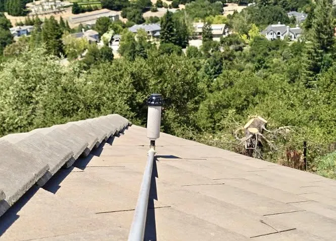
Morgan Hill sits in a geographic bowl between the Diablo Range to the east and the Santa Cruz Mountains to the west, which means fire can approach from two directions. The 2007 Lick Fire burned 47,760 acres in the Diablo Range foothills east of town, and the 2020 SCU Lightning Complex revisited the same terrain at 396,000 acres. On the west side, the 2020 CZU fire burned the Santa Cruz Mountains less than 15 miles away. Unlike its northern neighbors, Morgan Hill is surrounded by wide stretches of annual grassland. Grass fires here move fast, reaching residential edges within minutes of ignition during summer wind events. FireRoofs designs exterior fire sprinklers that wet the roof, eaves and perimeter of Morgan Hill homes before embers arrive.
CAL FIRE Risk Designation
Santa Clara County
Is there a fire near Morgan Hill right now?
Open the live fire map →Wildfires, planned burns, NASA satellite heat and wind within 50 miles of Morgan Hill. Updated every 5 minutes. Always follow official evacuation orders.

Fire regularly threatens Morgan Hill from both the Diablo Range foothills to the east and the Santa Cruz Mountains to the west.
Morgan Hill Fire Protection Resources
Fire Hazard Zone Lookup
Check whether your Morgan Hill address is in a Very High, High, or Moderate Fire Hazard Severity Zone using CAL FIRE 2025 maps.
Look up your addressEvacuation Map
Santa Clara County evacuation zones, routes, and real-time status during active incidents.
Santa Clara County Evacuation Map (Genasys Protect)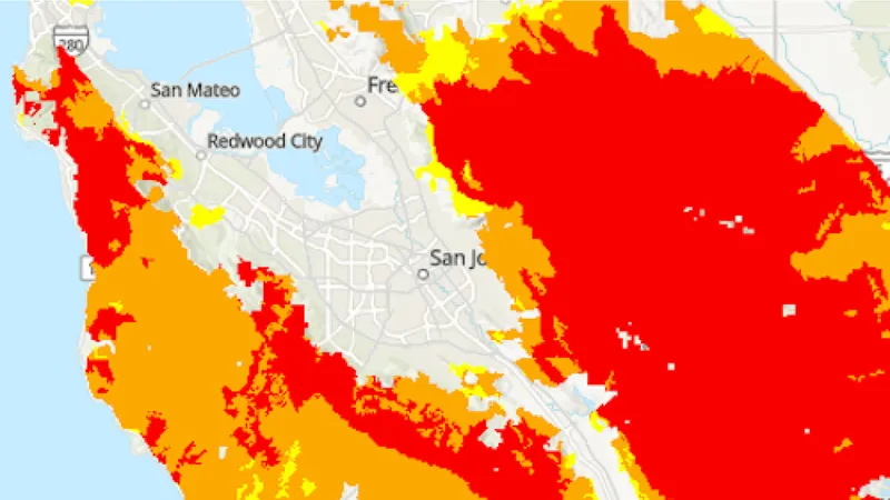
CAL FIRE Very High Fire Hazard Severity Zones (VHFHSZ) shown in red/orange
Source: CAL FIRE Fire Hazard Severity Zone data via Bay Area News Group
CAL FIRE High Fire Hazard Severity Zone
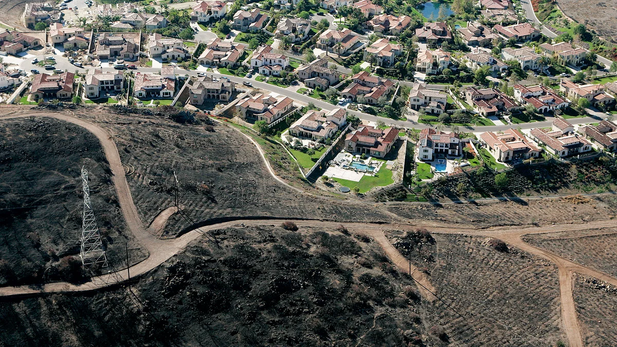
Portions of Morgan Hill fall within CAL FIRE Fire Hazard Severity Zones, primarily in eastern foothill neighborhoods and areas adjacent to the Diablo Range.
Morgan Hill's Wildfire Record
Past fires help predict the next one. These are the biggest fires near Morgan Hill.
Burned 396,624 acres east of Morgan Hill, the third-largest fire in California history, forcing evacuations.
Burned over 200 acres near Morgan Hill, threatening nearby homes.
Burned 47,760 acres in the Diablo Range east of Morgan Hill, one of the largest fires in Henry Coe State Park history.
Local Risk Factors
Dual Mountain Exposure
Morgan Hill is flanked by fire-prone terrain on both east (Diablo Range) and west (Santa Cruz Mountains).
Extreme Summer Heat
Temperatures regularly exceed 100°F, rapidly curing vegetation and creating dangerous fire conditions.
Agricultural-Urban Interface
The transition from agricultural to residential land creates mixed fuel types and complex fire behavior.
SCU Fire Legacy
The 2020 SCU fire showed that massive fires can build in the Diablo Range and threaten the city.
Live fire status near Morgan Hill
Track active incidents, Red Flag Warnings, air quality, PSPS power shutoffs, and evacuation resources for the Santa Clara County area, updated throughout the day.
Tell us about your Morgan Hill home. We'll come out, then design and install the sprinkler and hardening system it needs.
Request a Private ConsultationMorgan Hill Fire Environment
Vegetation Types
Wind Patterns
Hot valley winds; dry offshore wind events accelerate fire from east
Topography
Elevation 300-2,000 ft. Valley floor with steep foothills on east and west.
Protecting Your Morgan Hill Home & Family
The steps every Morgan Hill homeowner should take before wildfire season.
Evacuation Planning
Morgan Hill is flanked by open grasslands and the Diablo Range. Fires can move fast across dry grass. Register for AlertSCC and plan routes toward US-101 as your primary evacuation corridor. East side neighborhoods near Anderson Lake are particularly vulnerable.
Defensible Space
Grassland fires move rapidly in Morgan Hill. Mow dry grass to 4 inches or less within 100 feet of structures. The Santa Clara County FireSafe Council offers free defensible space inspections and community chipping for Morgan Hill WUI areas.
Your Local Fire Safe Council
Santa Clara County FireSafe Council
Morgan Hill Wildfire Preparedness Resources
Santa Clara County FireSafe Council
Community chipping, defensible space inspections, and wildfire preparedness for Morgan Hill.
SCC FireSafe CouncilSCC Fire Department Wildfire Prep
Free WUI preparedness inspections and wildfire safety resources for South County residents.
SCC Fire DepartmentCAL FIRE Ready for Wildfire
Complete wildfire preparation toolkit including evacuation checklists and home hardening guides.
CAL FIREProtect Your Morgan Hill Home with FireRoofs
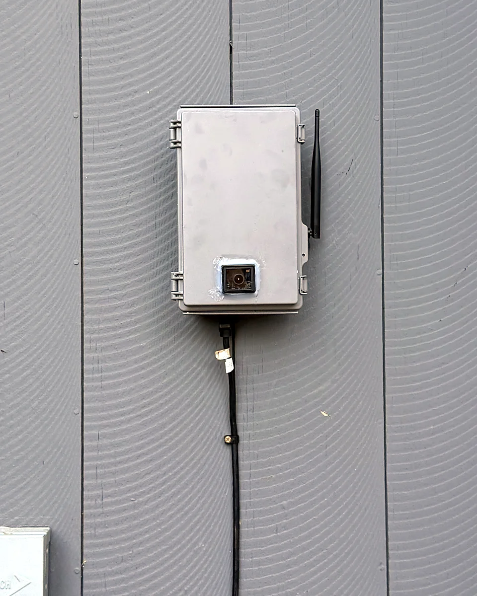
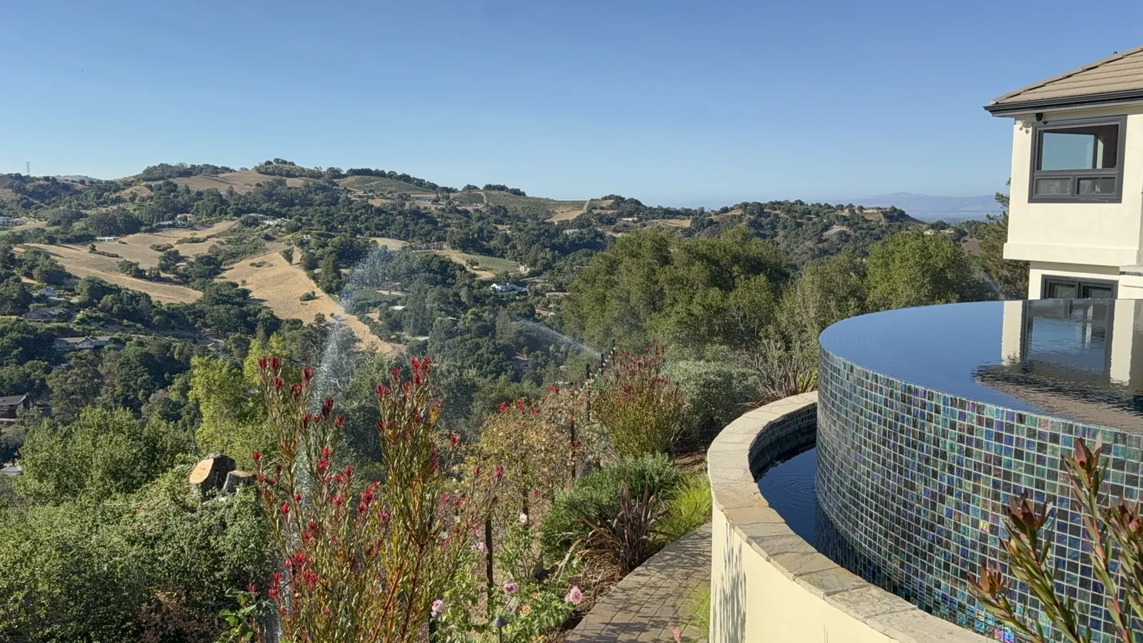
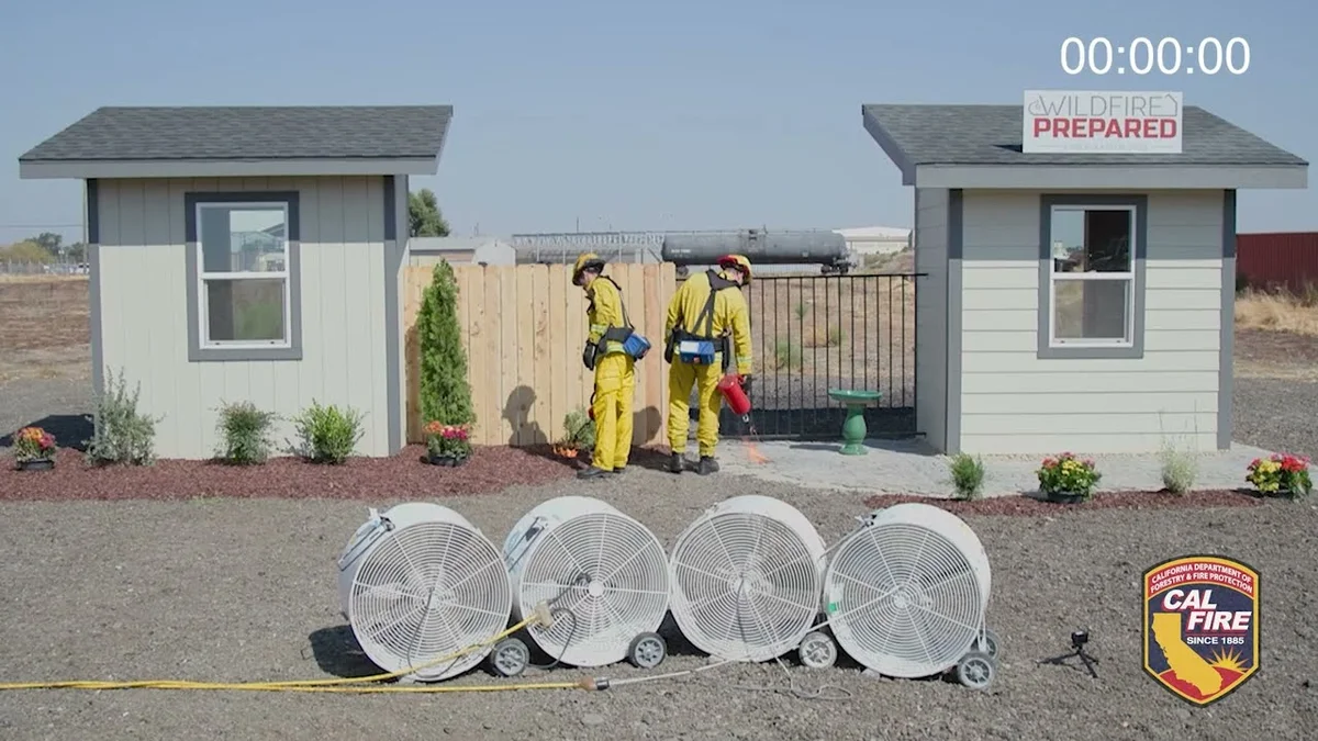
- Ember-resistant vents, the kind your insurance asks for, plus enclosed eaves and fencing that can't carry fire to the wall
- 5-foot zone and vegetation work referred to trusted Tree & Vegetation partners
- Your roof and the ground around it wet before fire gets close, even if you've left
- One packet of proof for your insurer, covering every upgrade
Local Wildfire Resources for Morgan Hill Homeowners
Rules change. Check with your city or fire district before you start work.
Tree Removal and Defensible Space Rules
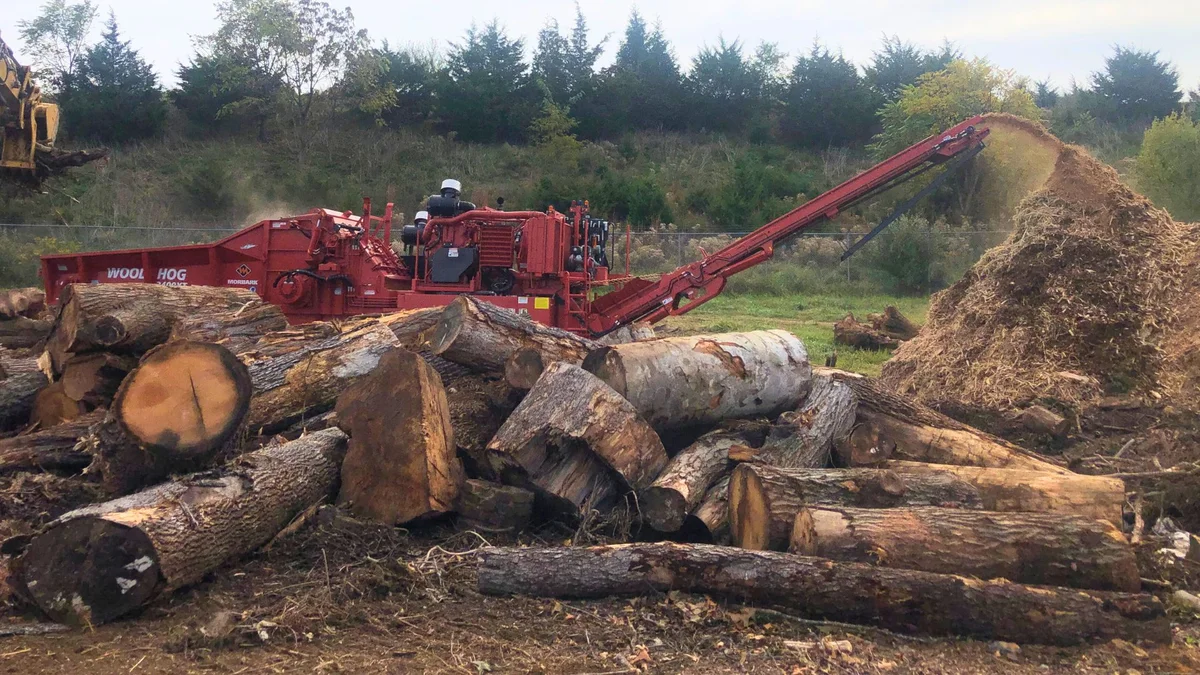
Permits required for protected trees (13+ inch DBH nonnatives, all natives over specified sizes). Emergency and fire hazard exemptions available. No fee waivers confirmed.
Fire Hazard Severity Zone: Edges Very High (40-60% of WUI areas per 2025 maps). Local Responsibility Area.
We Also Serve Nearby Communities
FireRoofs works throughout Santa Clara County. These are the nearby communities we serve.
Gilroy
Gilroy sits at the southern gateway to the Santa Clara Valley, with eastern hillsides extending into the Diablo Range WUI. The city adopted updated 2025 Fire Hazard Severity Zone maps incorporating additional acreage into high and very high hazard zones. Gilroy's position along the Pacheco Pass corridor exposes it to dry, hot winds from the Central Valley that can push grass fires into developed areas.
Live in one of these communities? FireRoofs offers private consultations throughout Santa Clara County and the greater Bay Area. Request a private consultation or call 831-705-0888.
Nearby Communities We Serve
Verified installations in Saratoga, Los Gatos, Los Altos, Los Altos Hills, Portola Valley, Scotts Valley and the Santa Cruz Mountains. We also serve the neighboring towns below.
If You Lose the Home
Morgan Hill Fire Loss: What Rebuilding Takes
Morgan Hill sits between two fire-prone ranges, and the 2020 SCU Lightning Complex burned nearly 400,000 acres in the Diablo Range foothills to the east, territory the 2007 Lick Fire had already scorched before it. Fast-moving grass fires can reach residential edges here within minutes of ignition during a summer wind event. Recovery after a total loss in this environment tends to be slower and more expensive than most homeowners anticipate.
$700-$800/sqft
Construction costs spike after disasters
After the 2020 CZU Lightning Complex, a Santa Cruz County Grand Jury survey found construction costs climbed to $700 to $800 per square foot, compared to $200 to $300 before the fire. Policies that were adequate before a regional disaster can fall far short once demand for contractors and materials surges.[1]
$247/sq ft
Underinsurance hits most households
A 2025 survey conducted by United Policyholders in the first year after the Los Angeles wildfires found that 69 percent of affected households carried insufficient coverage, falling short by an average of $247 per square foot. Morgan Hill homeowners near the WUI boundary face the same risk if coverage has not kept pace with rising replacement costs.[2]
18%
Few homes rebuilt five years on
In December 2025, only about 18 percent of the homes destroyed by the 2020 CZU Lightning Complex had been rebuilt, more than five years after the fire. Many families spent those years in temporary housing, a realistic picture of what a major loss means for a Morgan Hill household.[1]
“If you are underinsured, they’ll be off the hook.”
Keeping Home Insurance in Morgan Hill
Homeowners in Morgan Hill are facing surging FAIR Plan rates and non-renewals from private carriers. California's Safer from Wildfires rule requires admitted insurers to offer discounts for named mitigation, like a Class A roof, ember-resistant vents and a cleared first 5 feet. Exterior sprinklers are not one of the named measures. FireRoofs provides the engineering documentation and evidence packet designed to help you qualify for the voluntary market.
Morgan Hill foothill residents face increasing insurance scrutiny following the SCU Lightning Complex fire of 2020.
Got a notice from your insurer? Here is what to do after a non-renewal.
Request a Private ConsultationProtect Your Morgan Hill Property Today
Get your Morgan Hill home soaked and ready before the next Red Flag Warning. It starts with a 45-minute visit. No obligation.
Common Questions
What wildfire risk does Morgan Hill face?
Morgan Hill is designated a High fire risk zone by CAL FIRE. Santa Clara County fire maps confirm elevated exposure driven by annual grassland and blue oak savanna fuel loads and seasonal offshore winds. Morgan Hill is flanked by fire-prone terrain on both east (Diablo Range) and west (Santa Cruz Mountains).
Do exterior wildfire sprinklers qualify for an insurance discount in Morgan Hill?
Exterior sprinklers are not one of the named Safer from Wildfires categories, so no carrier is required to discount for them. A documented FireRoofs project produces evidence for the categories that are named, such as ember-resistant vents, enclosed eaves and noncombustible fencing near the house. Discounts vary by carrier.
What tree removal rules apply in Morgan Hill for wildfire defense?
Permits are required for protected trees (13+ inch DBH nonnatives, all natives over specified sizes). Emergency and fire hazard exemptions are available. Contact Morgan Hill planning department for current requirements.